• 3 Mile Walks or Less
  • 4 Mile Walks
  • 5 Mile Walks
  • 6 Mile Walks
  • 7 Mile Walks
  • 8 Mile Walks
  • 9 Mile Walks
  • 10 Mile Walks
  • 11 Mile Walks
  • 12 Mile Walks
  • 14 Mile Walks
  • 15 Mile Walks
  • 20+ Mile Walks

The Wandering Wildflower

Peak District Hikes

  • PEAK DISTRICT WALKS
    • SHORT WALKS UNDER 3 MILES
    • MEDIUM WALKS 4-9 MILES
    • LONG PEAK DISTRICT WALKS 10 MILES +
  • PEAK DISTRICT WALKS WITH PUBS
  • PEAK DISTRICT WALKS WITH KIDS
  • HOLMFIRTH WALKS

Edale Skyline [With GPX File] | 20 Miles

September 24, 2023 CIRCULAR WALKS, LONG PEAK DISTRICT WALKS 10 MILES +, PEAK DISTRICT WALKS, PEAK DISTRICT WALKS WITH PUBS

Pinterest image for Edale Skyline Walk Route - The Wandering Wildflower

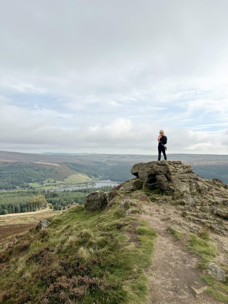
One of the walks I’ve had on my list for ages is the Edale Skyline, a challenging walk of 20 miles on the hills around Edale. Starting from Hope, this walk heads up to Win Hill before climbing up Kinder Scout via Crookstone Knoll, winding round to Kinder Low and then passing Brown Knoll, Rushup Edge and The Great Ridge of Mam Tor and Lose Hill before dropping back down into Hope. The views on a clear day are incredible!

A woman stood on a rock at the top of Win Hill

This version of the classic Edale Skyline walk also visits 4 Peak District trig points (Win Hill, Kinder Low, Brown Knoll and Mam Tor) and 5 Ethels (Win Hill, Brown Knoll, Rushup Edge, Mam Tor and Lose Hill). We didn’t visit the true summit of Kinder Scout on this walk or Grindslow Knoll but you could add these on as an extra if you wanted.


We started from Hope and set along the roads to cross the railway line and head up the steep climb to Win Hill passing Twitchill Farm. From Win Hill we retraced our steps down Hope Brink and picked up the Roman Road to Hope Cross, before climbing Crookstone Hill to Crookstone Knoll.

Win Hill trig point

Views of the Edale Skyline from Hope Brink

Views of the Edale Skyline from Hope Brink

Hope Cross, anancient waymarker

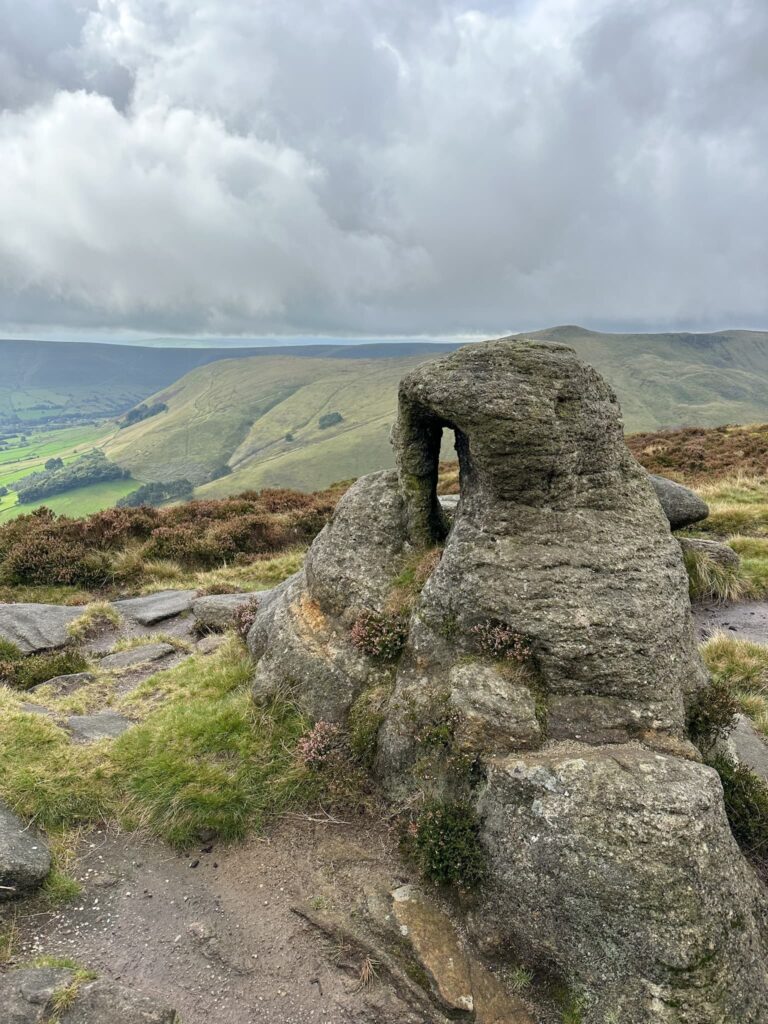
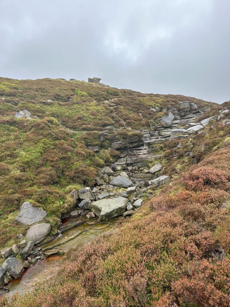
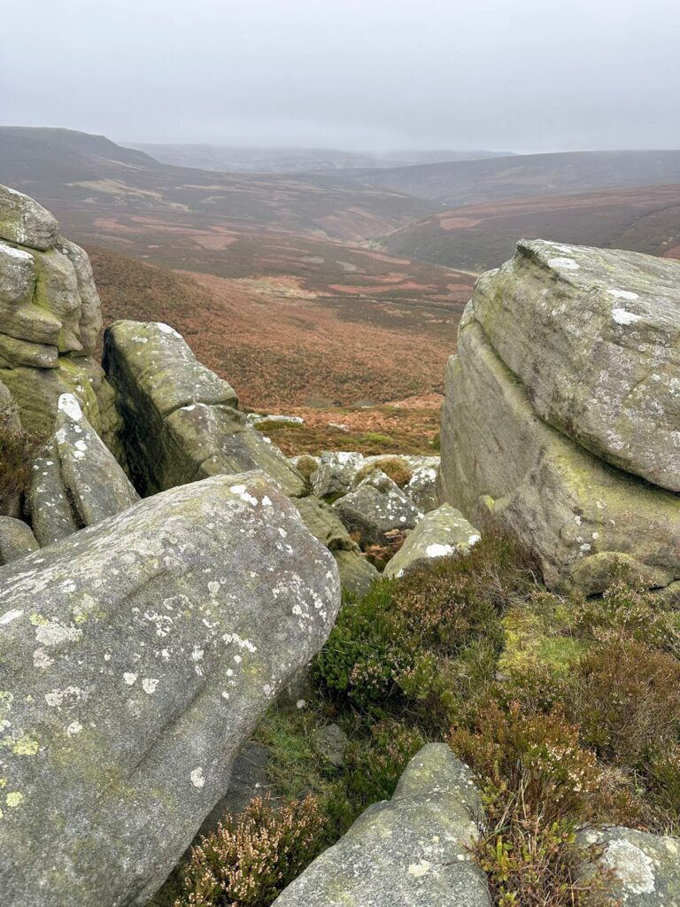
We followed the path winding around the edge of Upper Moor, passing Ollerbrook Clough to Ringing Roger, then wandered along Nether Tor and Upper Tor to the top of Grindsbrook Clough. Here you can nip up Grindslow Knoll if you want to bag an extra Ethel along the way, but we carried on towards Crowden Tower and the Wool Packs. This part of Kinder Scout is always VERY wet and boggy but the amazing rock formations kind of make up for it.

Curious rock formations on Kinder Scout near Nether Tor

A view of Grindslow Knoll from Upper Tor

A view of Nether Tor from Upper Tor, shrouded in mist

A waterfall on Kinder Scout

A view down Grindsbrook Clough with Grindslow Knoll on the right

Gritstone rock formations on Kinder Scout


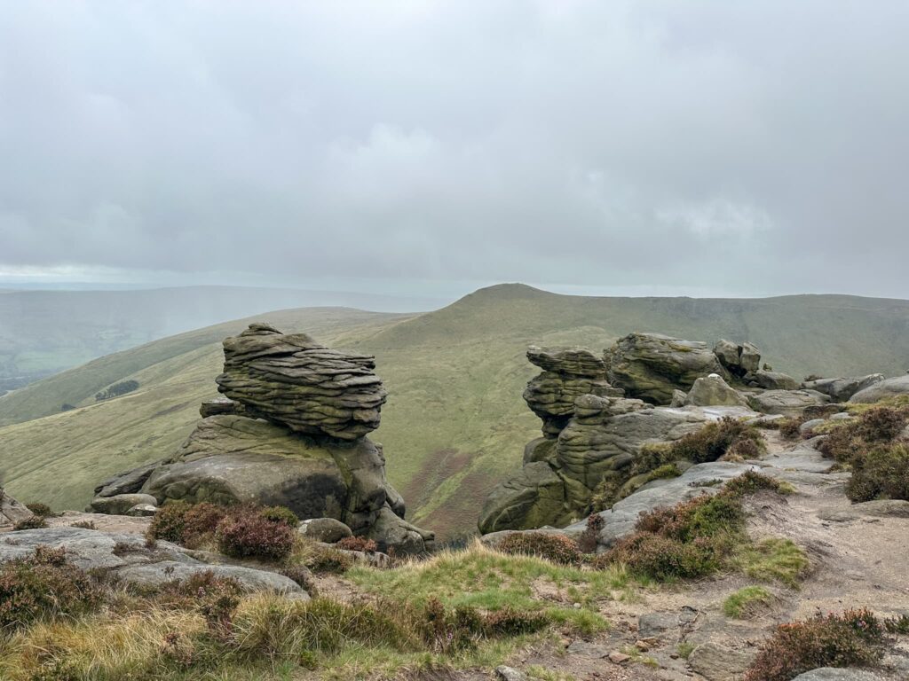
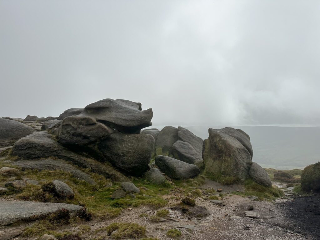
We passed Pym Chair (again, you could have a detour to the true summit of Kinder Scout from here) and carried on to Noe Stool before detouring up to the Kinder Low trig point. This is an extra little bonus as this trig point doesn’t seem to appear on most Edale Skyline walking routes!


Kinder Low trig point


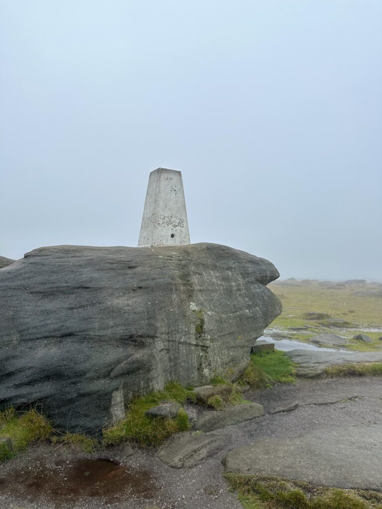
From the trig point we passed Edale Rocks and went down Swine’s Back to the junction with the top of Jacob’s Ladder then picked up the seemingly never-ending stone slab path to Brown Knoll and it’s trig point.

Brown Knoll trig point


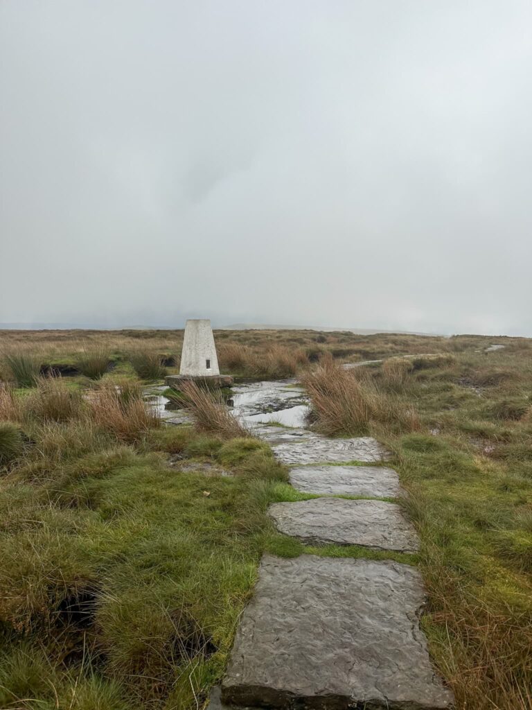
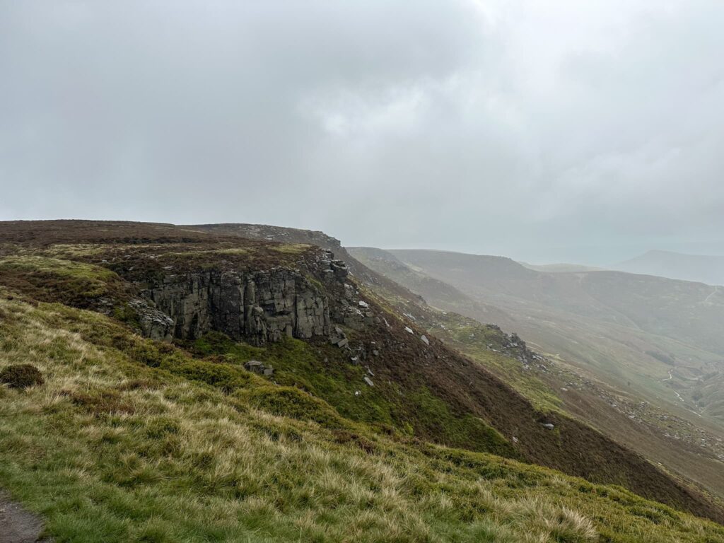
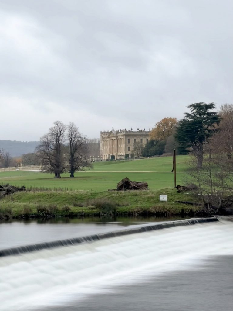
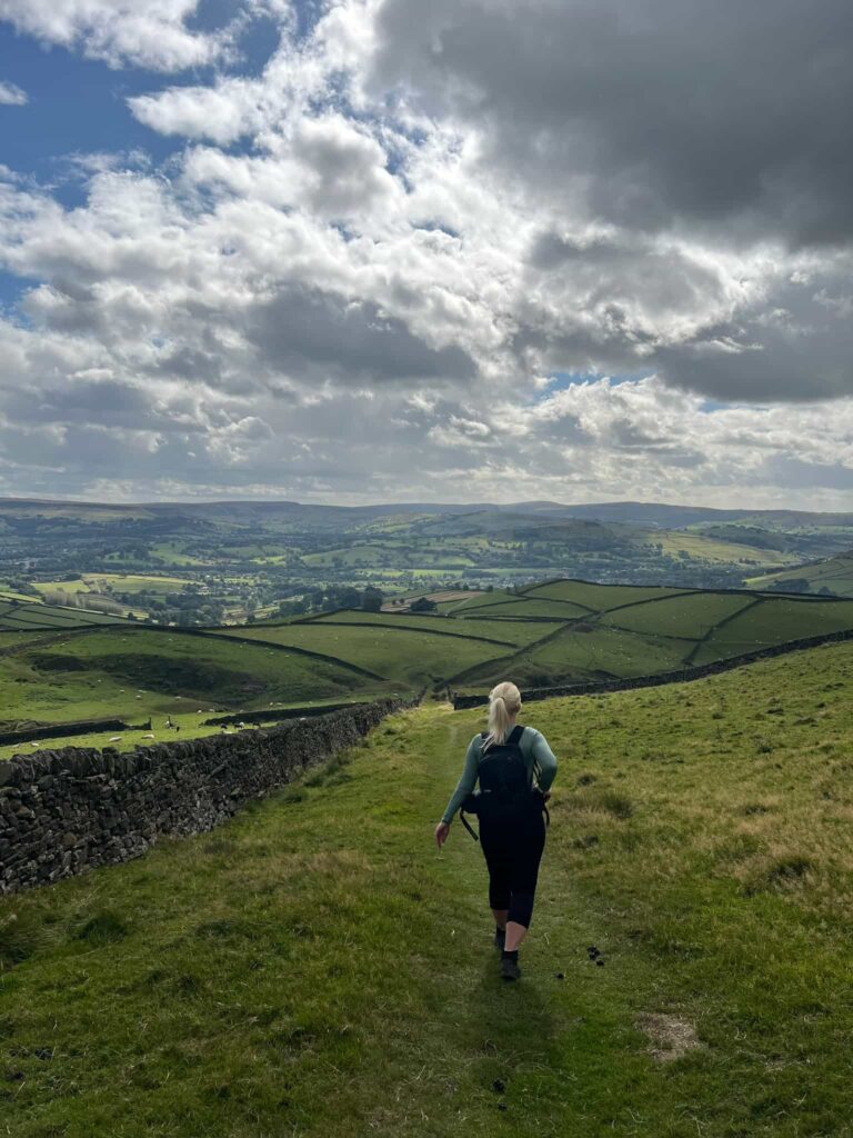
After taking trig point photos, we carried on along the stone slabs to pick up a rough track leading along Rushup Edge to Lord’s Seat, an ancient burial barrow. From Lord’s Seat you have great views down into the Vale of Edale and across The Great Ridge.

A view of Mam Tor from Rushup Edge


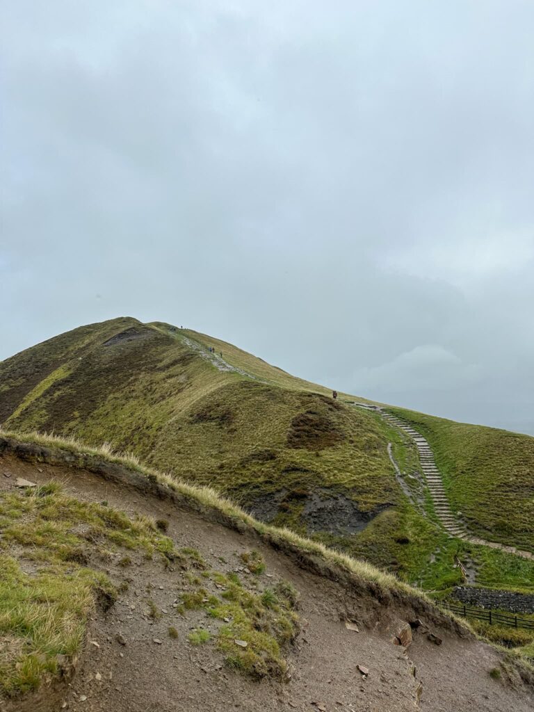
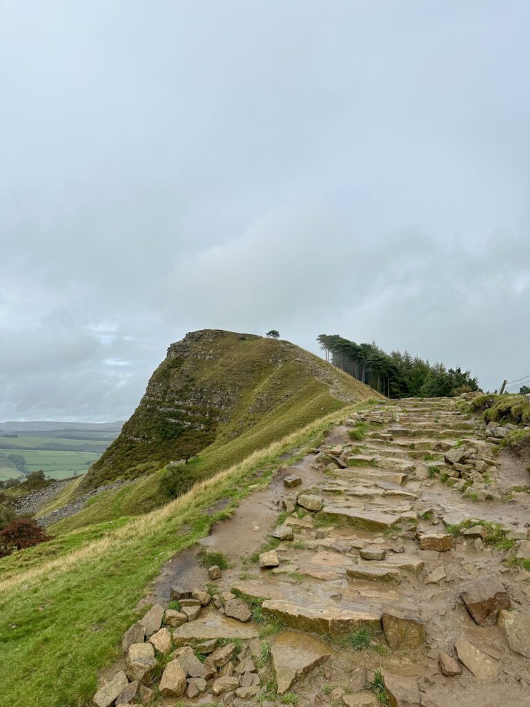
Crossing the road, we climbed up the steps to Mam Tor summit and then along The Great Ridge to Hollins Cross, Back Tor and Lose Hill before the steep descent back down past Lose Hill Farm to Hope and a well earned drink in The Woodroffe Arms.


A view of the steps up Mam Tor

Mam Tor trig point on a gloomy day

A view of Back Tor


With train stations in both Hope and Edale this is a challenge walk you can access via public transport.


How Far is the Edale Skyline?

The Edale Skyline is 20 miles of challenging hillwalking, with some steep climbs along the way.


How Long to Walk the Edale Skyline?

The Edale Skyline is a challenging walk and you should allow 9-12 hours or a full day of hillwalking. We took just over 7 hours to complete this but the time will depend on your fitness and the conditions underfoot – if it’s boggy on Kinder Scout it can slow you down.


What are the Peaks on the Edale Skyline?

Win Hill, Brown Knoll, Rushup Edge, Mam Tor and Lose Hill


Where to Start the Edale Skyline

We started from Hope, where there is a great car park with loos and plenty of cafes and shops to stock up on essentials (like Haribo). You can also start this from Edale itself and head up Ringing Roger, or from the Mam Nick car park near Mam Tor and Rushup Edge. There is no official starting point so you can choose what works best for you.


The Edale Skyline Walk Route:


Edale Skyline GPX


Walk Route in OS Maps: Edale Skyline Route Map

Parking: We parked in Hope Car Park S33 6SB and paid £7 for 24 hours of parking – you can buy 10 hours of parking but we didn’t want to risk it! W3W:///position.caveman.blackbird

Facilities: Toilets in the car park and lots of cafes and shops nearby including a Spar just across the road from the car park.

Walk Time: 7-10 hours

Difficulty: ▲▲▲

Distance: 20 miles (32km)

Elevation: 3812ft (1162m)

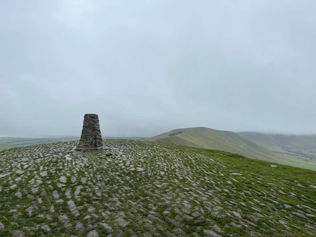
Trig Points Bagged: Win Hill, Kinder Low, Brown Knoll, Mam Tor

Peak District Peaks Bagged: Win Hill, Kinder Low, Brown Knoll, Lord’s Seat, Mam Tor, Hollins Cross, Back Tor, Lose Hill

Peak District Ethels Bagged: Win Hill, Brown Knoll, Rushup Edge, Mam Tor and Lose Hill


Tap to share with your hiking friends!

  • Facebook
  • Email
  • WhatsApp
« Riding Wood and Ramsden Reservoir Circular Walk | 3 Miles
Derwent Edge, Derwent Moors and Boots Folly | 8.5 Miles »

RELATED POSTS

  • Hathersage Stepping StonesHathersage Stepping Stones Walk | 7 Miles
  • Ladybower ReservoirLadybower Walk | 6 Miles
  • Anvil Stone, GrindsbrookGrindsbrook Clough Scramble to Grindslow Knoll | 7 Miles
  • Sough Top and Chelmorton Low | 3 Miles

Comments

  1. Giles Bovis says

    July 19, 2024 at 10:24 am

    Just found your website amd am finding the guides very helpful. Great work!

    Reply
    • Jo says

      July 19, 2024 at 5:54 pm

      Thank you so much Giles! Hope you’ve got some brilliant adventures planned 😊

      Reply

Leave a Reply Cancel reply

Your email address will not be published. Required fields are marked *

FIND YOUR NEXT WALK:

ABOUT ME

Y Garn with Kids - Y Garn via the Devil's Kitchen Walk in Ogwen Valley

Hello! I’m Jo! Welcome to The Wandering Wildflower, an outdoors lifestyle blog focusing on family walks in the Peak District, a place we love exploring. I want to share the Peak District hidden gems and show you there’s so much more than the honeypot places. When I’m not dragging my husband and now 11 year old out on Peak District walks or up mountains, I can be found on planning my next moorland walk or plotting a Geocache walk (and seeing where the nearest pub is!). I love the hills but hate the heights, so trig bagging is – er- fun!


I hope this blog will give you some ideas of places to visit in the Peak District and inspire you and your family to head into the great outdoors.  Thanks for stopping by!

CATEGORIES

  • CIRCULAR WALKS (188)
  • HOLMFIRTH WALKS (27)
  • ISLE OF SKYE WALKS (3)
  • LAKE DISTRICT WALKS (24)
  • LANCASHIRE WALKS (2)
  • LONG PEAK DISTRICT WALKS 10 MILES + (42)
  • MEDIUM WALKS 4-9 MILES (136)
  • PEAK DISTRICT SCRAMBLES (16)
  • PEAK DISTRICT WALKS (202)
  • PEAK DISTRICT WALKS WITH KIDS (75)
  • PEAK DISTRICT WALKS WITH PUBS (60)
  • SCOTLAND WALKS (6)
  • SHORT WALKS UNDER 3 MILES (40)
  • SNOWDONIA WALKS (5)
  • UK CAMPING (5)
  • YORKSHIRE WALKS (33)

Peak District Walks

List of Peak District Ethels

Peak District Peak Bagging

Peak District Trig Point Challenge

Peak District Walks with Pubs

Peak District Walks with Kids

Beautiful Walks in Holmfirth

Short Walks in the Peak District

Long Walks in the Peak District

AFFILIATE DISCLOSURE

This blog may contain affiliate links through which, at no additional cost to you, I may earn a small commission. I only recommend products I would use myself and all opinions expressed here are my own. As an Amazon Associate I earn from qualifying purchases. Read full privacy policy here.

ARCHIVES

PEAK DISTRICT WEATHER

Peak District mountain weather on Met Office

Peak District Trig Points

Promo image for a blog post about the Peak District Trig Point Challenge With Map of Peak District Trig Points and Walking Routes by The Wandering Wildflower

Peak District Ethels Challenge

Promo image for a blog post about the Peak District Trig Point Challenge With Map of Peak District Ethels and Walking Routes by The Wandering Wildflower

WALKING ROUTES STRAIGHT TO YOUR INBOX

Want new walks in your inbox? Drop your email below and I'll send you some ideas for walks you can try.

You can unsubscribe anytime. For more details, review our Privacy Policy.

Thank you!

You have successfully joined our subscriber list.

RSS LATEST POSTS

  • Burnbank Fell, Blake Fell and Gavel Fell | 8 Miles
  • Bretton Park Circular Walk | 3 Miles
  • Hathersage Stepping Stones Walk | 7 Miles
  • Ladybower Walk | 6 Miles
  • Derbyshire Peak District Walks

FOLLOW ON PINTEREST

Want new walks in your inbox? Drop your email below and I'll send you some ideas for walks you can try.

You can unsubscribe anytime. For more details, review our Privacy Policy.

Thank you!

You have successfully joined our subscriber list.

jo@thewanderingwildflower.co.uk

The Wandering Wildflower

  • Email
  • Facebook
  • Instagram
  • Pinterest
  • PRIVACY POLICY
  • TERMS & CONDITIONS
  • ABOUT

(c) The Wandering Wildflower. All Rights Reserved.

|| THEME BY ECLAIR DESIGNS