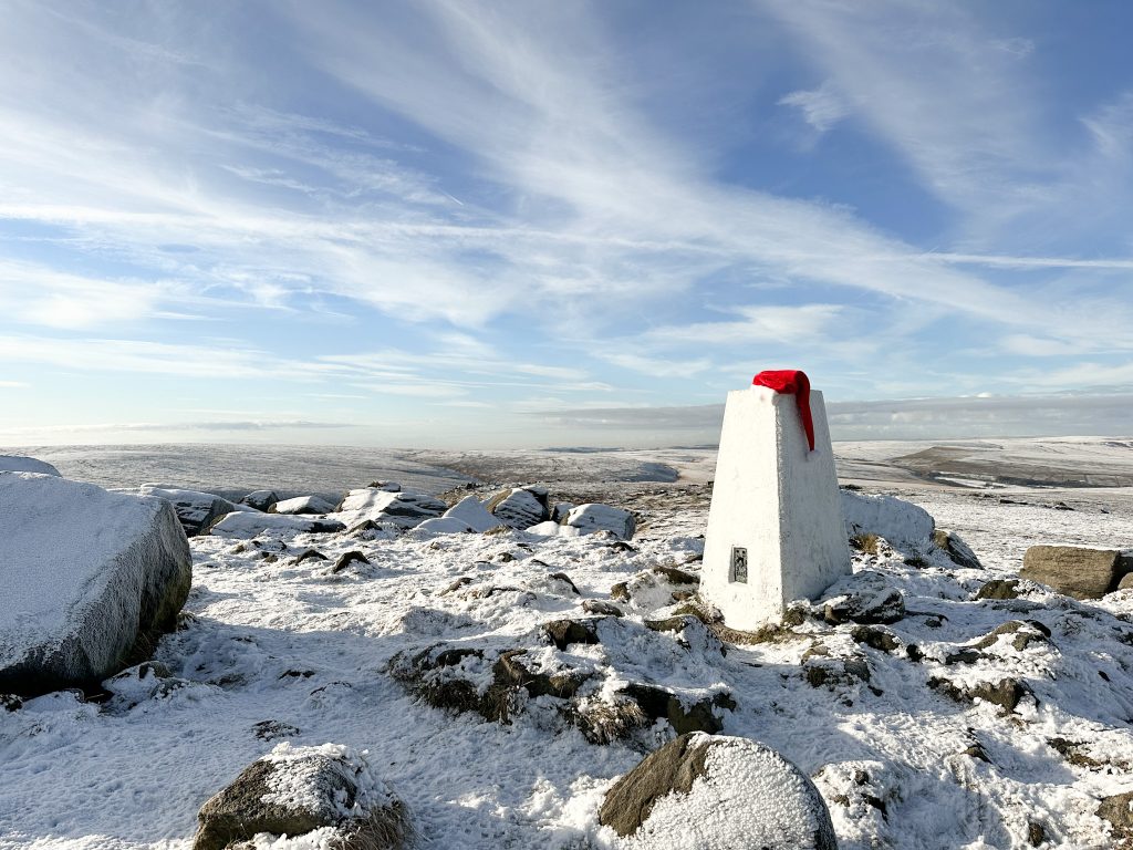
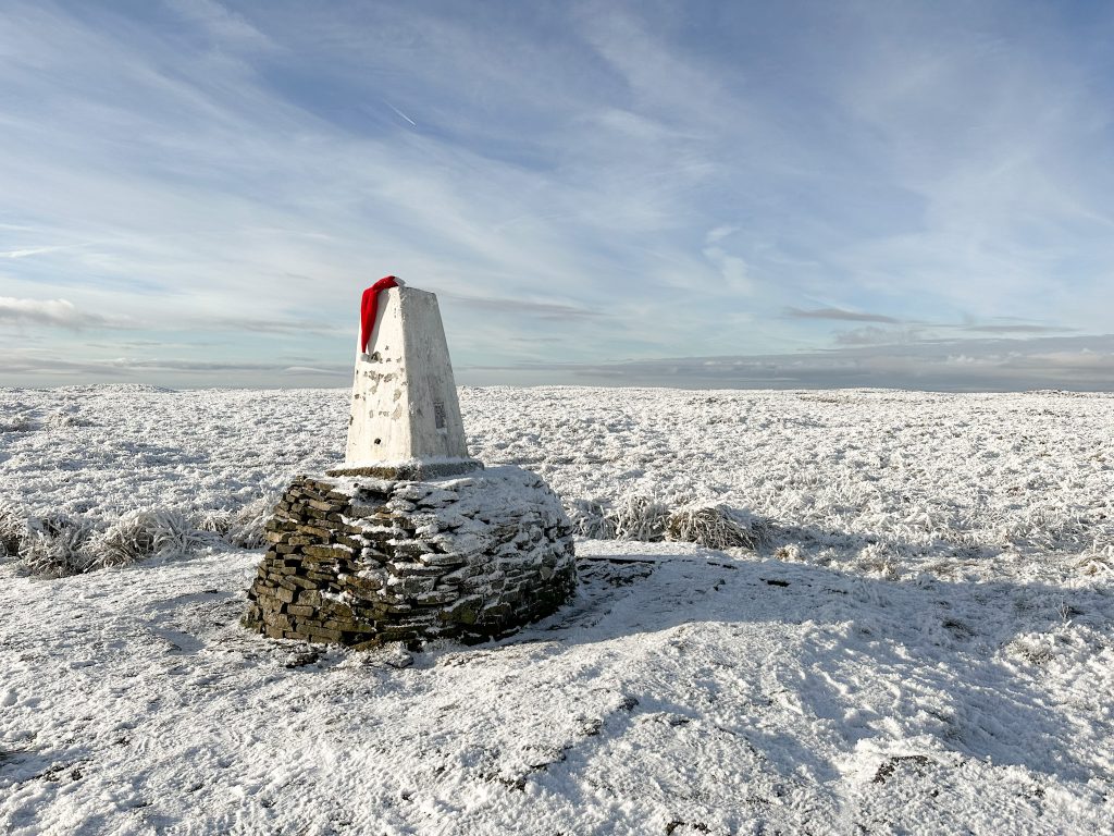
Best Peak District Walks for Boxing Day


Looking for the best Peak District walks for Boxing Day?
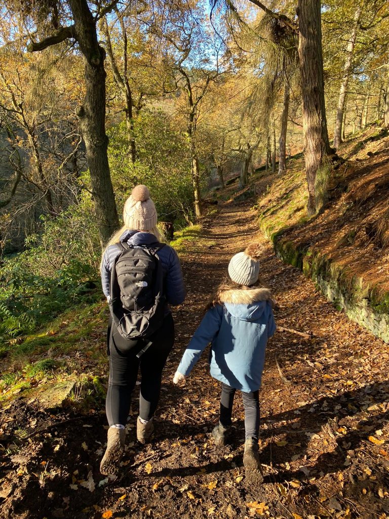
There’s nothing nicer than getting the family together on Boxing Day and heading out for a walk. This post is a collection of the best Peak District walks for Boxing Day to hopefully give you some inspiration. These are all walks with a pub stop and are in various places in the Peak District.
You might also like this Easy Walks in the Peak District.
Short Boxing Day Walks in the Peak District
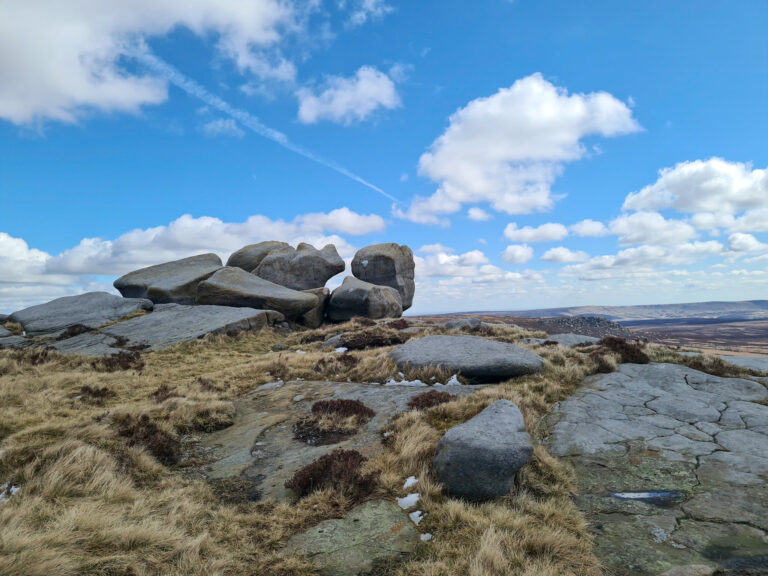
Birchen Edge Walk
For a short walk on Boxing Day why not try this easy 2 mile Birchen Edge circular walk? Starting from next to the Robin Hood Pub which (when we visited) was offering free kids meals for under 8s. This might have changed so check before you set off. The walk heads up from the car park and is a short climb up onto Birchen Edge, where there is Nelson’s Monument and The Three Ships, huge gritstone boulders named after 3 of Nelson’s ships.

Birchen Edge Parking:
Parking: Birchen Edge car park DE45 1PU
Facilities: There is The Robin Hood pub next to the car park with facilities for patrons only.
Walk Time: 1-2 hours depending on how long you want to explore
Difficulty: ▲ (one steep climb)
Distance: less than 2 miles
Trig Points Bagged: Birchen Edge
Peak District Peaks Bagged: Birchen Edge
Peak District Ethels Bagged: None
Birchen Edge Walk Route Map:
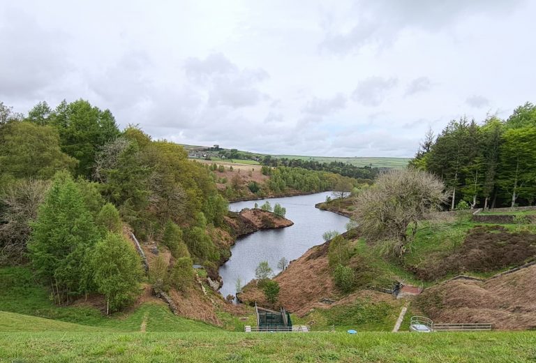
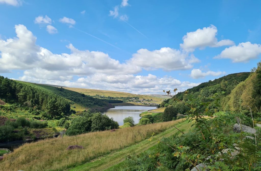
Digley Reservoir
Digley Reservoir is a popular place to walk near Holmfirth and this walk from Holmbridge starts and ends at the pub. Heading up through the woodland near The Pickled Pheasant, the walk then winds it’s way round the beautiful Digley and Bilberry Reservoirs before heading back down to the pub. At 3 miles long it’s a nice gentle walk.

Parking: On the road near The Pickled Pheasant (HD9 2NQ). You could park in one of the car parks at Digley Reservoir itself (HD9 2QD) if you didn’t want a pub stop on your walk.
Facilities: There are no facilities at Digley Reservoir.
Walk Time: 1-2 hours depending on how fast you walk
Difficulty: ▲
Distance: 3 miles (5 km)
Digley Reservoir Circular Route Map: (click the image to download the gpx file for your device)
Langsett Reservoir Walk
Langsett Reservoir is situated in the north-west of the Peak District near the Howden Moors and a walk around Langsett Reservoir will help blow the cobwebs away on Boxing Day. Wandering through the woodlands and round the reservoir you’ll see the Memory Tree which a team of “elves” decorate every year. At just over 4 miles long, you have the choice of the Bank View Cafe or Waggon and Horses pub for refreshments (if open!).

Parking: There is car parking at Langsett Barn car park or further up the main road near the Flouch roundabout.
Facilities: There are no facilities at Langsett Reservoir but there is a pub (Waggon and Horses) and Bank View Cafe.
Walk Time: 2-3 hours depending on how fast you walk
Difficulty: ▲
Distance: 4 miles (6.5 km)
Langsett Reservoir Circular Route Map: (click the image to download the gpx file for your device)
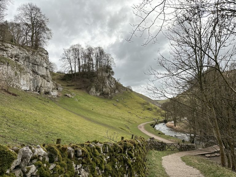
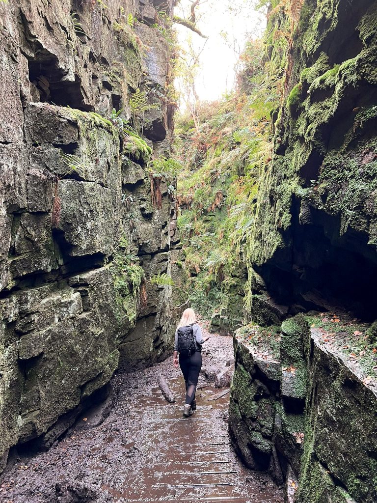
Castleton to Bradwell Moor via Cave Dale
It’s always lovely to wander through the pretty Peak District village of Castleton, and this walk takes you through Cave Dale, a really interesting place which is actually the remnants of an ancient coral reef. This 5 mile walk wanders up through Cave Dale to the Bradwell Moor trig point and then back into Castleton where there are plenty of pubs and cafes.

Castleton Walk Route:
Parking: Devils Arse (Peak Cavern) Car Park S33 8WN
Facilities: There are some public loos near the car park and cafes and coffee shops in Castleton
Walk Time: 2-3 hours
Difficulty: ▲▲ (Some steep climbs and slippery limestone sections)
Distance: 5.2 miles (8.4 km) in total
Trig Points Bagged: Bradwell Moor
Peak District Peaks Bagged: Bradwell Moor
Peak District Ethels Bagged: Bradwell Moor
Cave Dale Walk Route Map:
Peak District Walks for Boxing Day
Chatsworth Park and Edensor
This walk explores the beautiful Chatsworth park and Edensor, spotting the deer and the Hunting Tower. There are no steep climbs and it’s a great way to explore Chatsworth without paying to go in the grounds and house.

Free Chatsworth Walk:
Parking: Nether End Car Park, Church Lane, Baslow, Bakewell DE45 1SR
Facilities: Public toilets in the car park and at Chatsworth House
Walk Time: 3-4 hours
Difficulty: ▲
Distance: 8.16 miles (13km)
Trig Points Bagged: None
Peak District Peaks Bagged: None
Peak District Ethels Bagged: None
Chatsworth Park Walk Map:
Back Tor Walk
For a longer walk, why not try this moorland walk heading from The Strines pub to Lost Lad and Back Tor? This Back Tor walk is just over 10km long and explores the Strines Moors with views over the Derwent Moors.

Parking: The Strines Inn S6 6JE. Parking is for customers only but we checked with staff before we set out for our walk that it would be OK for us to park there and have lunch after.
Facilities: The Strines Inn
Walk Time: 2 hours 30 min
Difficulty: ▲▲
Distance: 6 miles (10km) approximately
Trig Points Bagged: Back Tor
Peak District Peaks Bagged: Back Tor, Lost Lad
Peak District Ethels Bagged: Back Tor, Lost Lad
Route Map:
Marsden to Wessenden Head Reservoir
This walk from Marsden through the Wessenden Valley is a lovely walk alongside the reservoirs of Butterley, Blakeley, Wessenden and Wessenden Head and uses mainly good paths. The 5.9 mile walk starts in Marsden where there are lots of bars and cafes for a stop off.
Parking: Binn Road, Marsden
Facilities: None but there are plenty of shops etc in Marsden
Walk Time: 2-3 hours
Difficulty: ▲▲
Distance: 5.88 miles (11km)
Trig Points Bagged: None
Peak District Peaks Bagged: None
Peak District Ethels Bagged: None
Wessenden Valley Walk Route Map:
Castleton to Mam Tor via Cave Dale
A slightly different walk is this Castleton to Mam Tor walk, exploring Cave Dale and Winnats Pass before heading up to Mam Tor and Hollins Cross. This is a 6 mile walk exploring the beautiful High Peak countryside.
![]()
Castleton to Mam Tor walk route:
Parking: Castleton Visitors Centre S33 8WN. Pay to park by cash or via paybyphone.co.uk and it cost £6 for the day.
Facilities: The visitors centre has toilets and there are shops and pubs in Castleton.
Walk Time: 2-3 hours including lunch stop
Difficulty: ▲▲
Distance: 6 miles (11km)
Trig Points Bagged: Mam Tor
Peak District Peaks Bagged: Mam Tor
Peak District Ethels Bagged: Mam Tor
Mam Tor Circular Walk Route Map:
Long Boxing Day Walks in the Peak District
Crook Hill and Win Hill Walk via Ladybower Reservoir
This is a longer walk up Win Hill and Crook Hill before wandering along Ladybower Reservoir. The original walk had a pub stop at The Ladybower Inn but this is shut as of Christmas 2022, and I’m not sure when it will reopen. Nearby pubs include the Yorkshire Bridge and The Strines a short drive away.

Parking for Ladybower Reservoir: Heatherdene Car Park S33 0BY
Facilities: Public loos in the Heatherdene car park
Walk Time: 3-4 hours
Difficulty: ▲▲
Distance: 8.1 miles (13 km)
Trig Points Bagged: Win Hill
Peak District Peaks Bagged: Win Hill, Crook Hill
Peak District Ethels Bagged: Win Hill, Crook Hill
Win Hill and Crook Hill Route Map:
The Roaches and Lud’s Church
The Roaches is a popular place to walk on Boxing Day, with it being a short climb from the roadside to enjoy the spectacular views over Tittesworth and the Staffordshire countryside. Home to wildlife, rock formations and a quirky little rock cottage built into the hillside, The Roaches is a great place for a family walk. Adding on a walk through the mysterious Lud’s Church extends this Lud’s Church and the Roaches walk.

Parking: Gradbach, Buxton SK17 0SU. This is a free car park but is very small with only about 20 spaces, so get there early.
Facilities: Public toilets and cafe at Gradbach Mill.
Walk Difficulty: ▲▲
Walk Time: 4-5 hours
Walk Distance: 8.66 miles (13.9km)
Trig Points Bagged: The Roaches
Peak District Peaks Bagged: The Roaches, Gradbach Hill
Peak District Ethels Bagged: The Roaches (you could easily nip up Hen Cloud as well)
Lud’s Church and The Roaches Walking Route:
Holme to Black Hill, West Nab and Blackpool Bridge
I had to include a walk to Black Hill on this collection of Boxing Daywalks in the Peak District! This Holme to Black Hill, West Nab and Blackpool Bridge walk starts outside The Fleece Inn which is the perfect post walk stop off. You can shorten this 10.6 mile walk by not heading up to West Nab, and you could even miss off a trip up to the Black Hill trig point and just explore the moors at a lower level. This is a moorland walk, but uses the Pennine Way for a large proportion of the way.
Blackpool Bridge Walk
Parking: On street in Holme village. Please be considerate to local residents.
Facilities: Public toilets in Holme
Walk Time: 4-5 hours
Difficulty: ▲▲▲
Distance: 10.6 miles (17km)
Trig Points Bagged: Black Hill, West Nab
Peak District Peaks Bagged: Black Hill, West Nab
Peak District Ethels Bagged: Black Hill, West Nab
Blackpool Bridge Walk Map:
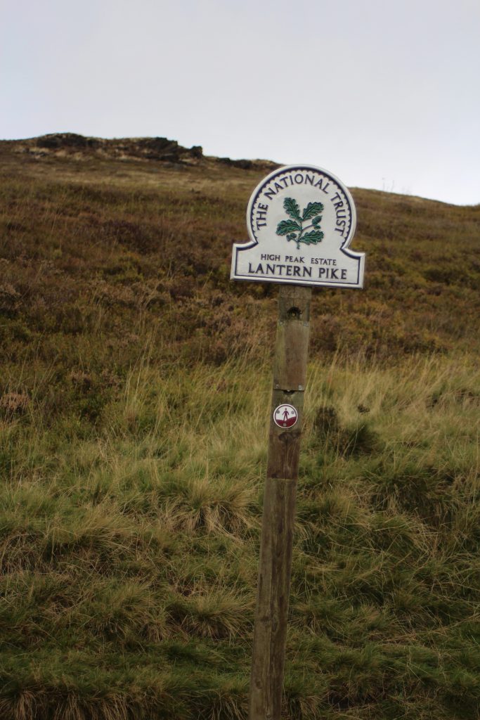
Lantern Pike Circular Walk
This Lantern Pike circular walk starts near the Lantern Pike Inn and heads off over the hills in search of the fallen trig point at Lantern Pike, the toposcope and Cown Edge quarry. At 11 miles this is the longest walk on this collection of Boxing Day walks, but if you’re anything like me you’ll enjoy a long walk in the Peak District to escape the Christmas madness!
Difficulty: ▲▲
Parking: Glossop Road lay-by opposite the Lantern Pike pub.
Facilities: None en-route but the Lantern Pike pub is available.
Trig Points bagged: Lantern Pike and Harry Hut
Peak District Peaks bagged: Lantern Pike and Cown Edge
Peak District Ethels bagged: Lantern Pike and Cown Edge
Walk Map:
If you need any more walk inspiration, feel free to browse the website for more Peak District walks. You might also like:
5 Spectacular Walking Routes in the Peak District
10 Best Peak District Sunrise Spots
10 Easy Peak District Walks With Kids (Under 10km)
21 Short Walks in the Peak District
5 of the Best Peak District Walks