• 3 Mile Walks or Less
  • 4 Mile Walks
  • 5 Mile Walks
  • 6 Mile Walks
  • 7 Mile Walks
  • 8 Mile Walks
  • 9 Mile Walks
  • 10 Mile Walks
  • 11 Mile Walks
  • 12 Mile Walks
  • 14 Mile Walks
  • 15 Mile Walks
  • 20+ Mile Walks

The Wandering Wildflower

Peak District Hikes

  • PEAK DISTRICT WALKS
    • SHORT WALKS UNDER 3 MILES
    • MEDIUM WALKS 4-9 MILES
    • LONG PEAK DISTRICT WALKS 10 MILES +
  • PEAK DISTRICT WALKS WITH PUBS
  • PEAK DISTRICT WALKS WITH KIDS
  • HOLMFIRTH WALKS

Peak District 75s

March 31, 2023 PEAK DISTRICT WALKS

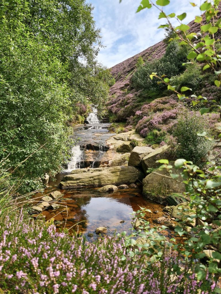
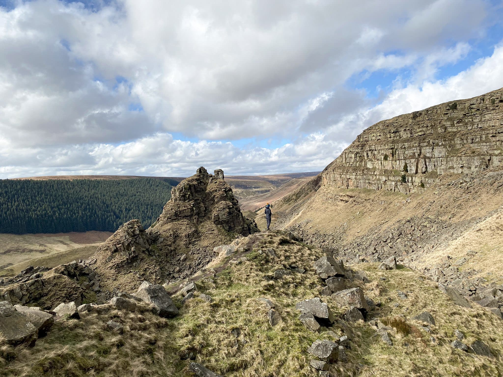
The Peak District is home to so many stunning hills and is a great place to explore and bag those summits. If you’re a fan of peak bagging lists, have you seen the Peak District 75?

A view of Alport Castles, a huge landslide in the Peak District


This blog may contain affiliate links through which, at no additional cost to you, I may earn a small commission. I only recommend products I would use myself and all opinions expressed here are my own. Read full privacy policy here.


The Peak District 75 is a list of the best hills in the Peak District with a prominence of over 30m (TUMPs). These are all on Open Access Land or accessible via footpath (unlike the Peak District Ethels and Peak District trig points challenges which has some summits and trigs on private land). This list is based on the book The Peak 75 by Barry K Smith.


So what is a TUMP?

According to Hill Bagging “A Tump is a hill in Scotland, England, Wales, the Isle of Man or Channel Islands which is separated from adjacent tops by a height difference of at least 30 metres on all sides.  The higher of the Tumps, including all over 500m in height, are included on other lists such as the Simms and Deweys.”


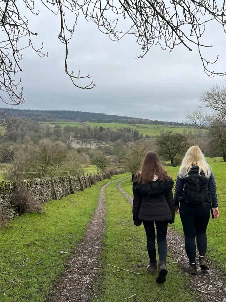
Peak District 75 Walks

There is a link to a walk for each of the summits – click the links to access the walking routes and map files in GPX format.


Name Height Grid Ref
Axe Edge Moor 551m SK035706
Back Tor 538m SK197909
Bamford Moor 426m SK211846
Barker Bank 426m SK138846
Beeley Moor 371m SK293686
Black Edge 507m SK062771
Black Hill 582m SE076046
Bleaklow Head 633m SK094960
Bolehill 323m SK293553
Bradwell Moor 471m SK131801
Bridge-end Pasture 391m SK176879
Bunster Hill 331m SK142516
Carder Low 380m SK130626
Cats Tor 522m SJ994758
Chelmorton Low 446m SK114706
Chinley Churn 457m SK036843
Chrome Hill 443m SK070673
Combs Head 503m SK040757
Cown Edge 411m SK021920
Crook Hill 382m SK181871
Eccles Pike 370m SK035812
Ecton Hill 369m SK099580
Eldon Hill 471m SK115811
Fin Cop 327m SK174709
Gradbach Hill 399m SK000652
Gratton Hill 363m SK132571
Grin Low 434m SK053717
Grindslow Knoll 601m SK109868
Gun 385m SJ970615
Harboro Rocks 379m SK242553
Hen Cloud 410m SK008615
Higger Tor 434m SK257819
High Neb 458m SK227853
High Tor 205m SK296589
High Wheeldon 422m SK100661
Higher Shelf Stones 622m SK088947
Hollins Hill 450m SK060679
Howden Edge (High Stones) 550m SK187943
Kerridge Hill 313m SJ942759
Kinder Scout 636m SK084875
Lantern Pike 373m SK026881
Longstone Moor 395m SK188732
Lord’s Seat (Rushup Edge) 550m SK111834
Lose Hill 476m SK153853
Mam Tor 517m SK127836
Masson Hill 338m SK286586
Mill Hill 544m SK061904
Minninglow Hill 372m SK209572
Mount Famine 473m SK056849
Narrowdale Hill 367m SK123572
Parkhouse Hill 375m SK079669
Parkhouse Hill North Top 362m SK081672
Pilsbury Castle Hill 395m SK120639
Ramshaw Rocks 460m SK020624
Revidge 401m SK077599
Shatton Edge (Burton Bole) 417m SK193807
Shining Tor 559m SJ994737
Shutlingsloe 506m SJ976695
Sir William Hill 429m SK215778
South Head 494m SK061845
Sponds Hill 413m SJ971799
Stanton Moor 323m SK244628
Tegg’s Nose 382m SJ947725
The Cloud 343m SJ904637
The Roaches 505m SK001638
The Tower 460m SK141914
Thorpe Cloud 287m SK151509
Wardlow Hay Cop 370m SK178739
West Nab 501m SE076087
Wetton Hill 371m SK112565
Wetton Hill SW Top 358m SK104562
Whaley Moor 411m SJ989821
White Path Moss 457m SK251830
Win Hill 463m SK186850
Wolfscote Hill 388m SK137583

Have you visited these yet?

Tap to share with your hiking friends!

  • Facebook
  • Email
  • WhatsApp
« Scenic Bamford Edge and Stanage Edge | 9 Miles
Wessenden Valley and West Nab | 6 Miles »

RELATED POSTS

  • A view of Win Hill and Ladybower Reservoir from Bamford EdgeScenic Bamford Edge and Stanage Edge | 9 Miles
  • Musden Low Short Walk | 1 Mile
  • Ashway Moss and How to Find The Trinnacle at Dovestone Reservoir - Peak District Walks - The Wandering WildflowerAshway Moss and The Trinnacle Circular Walk | 9 Miles
  • The Grinah Stones near BleaklowFairholmes to the Grinah Stones | 17 Miles

Leave a Reply Cancel reply

Your email address will not be published. Required fields are marked *

FIND YOUR NEXT WALK:

ABOUT ME

Y Garn with Kids - Y Garn via the Devil's Kitchen Walk in Ogwen Valley

Hello! I’m Jo! Welcome to The Wandering Wildflower, an outdoors lifestyle blog focusing on family walks in the Peak District, a place we love exploring. I want to share the Peak District hidden gems and show you there’s so much more than the honeypot places. When I’m not dragging my husband and now 11 year old out on Peak District walks or up mountains, I can be found on planning my next moorland walk or plotting a Geocache walk (and seeing where the nearest pub is!). I love the hills but hate the heights, so trig bagging is – er- fun!


I hope this blog will give you some ideas of places to visit in the Peak District and inspire you and your family to head into the great outdoors.  Thanks for stopping by!

CATEGORIES

  • CIRCULAR WALKS (187)
  • HOLMFIRTH WALKS (27)
  • ISLE OF SKYE WALKS (3)
  • LAKE DISTRICT WALKS (23)
  • LANCASHIRE WALKS (2)
  • LONG PEAK DISTRICT WALKS 10 MILES + (42)
  • MEDIUM WALKS 4-9 MILES (135)
  • PEAK DISTRICT SCRAMBLES (16)
  • PEAK DISTRICT WALKS (201)
  • PEAK DISTRICT WALKS WITH KIDS (75)
  • PEAK DISTRICT WALKS WITH PUBS (59)
  • SCOTLAND WALKS (6)
  • SHORT WALKS UNDER 3 MILES (40)
  • SNOWDONIA WALKS (5)
  • UK CAMPING (5)
  • YORKSHIRE WALKS (32)

Peak District Walks

List of Peak District Ethels

Peak District Peak Bagging

Peak District Trig Point Challenge

Peak District Walks with Pubs

Peak District Walks with Kids

Beautiful Walks in Holmfirth

Short Walks in the Peak District

Long Walks in the Peak District

AFFILIATE DISCLOSURE

This blog may contain affiliate links through which, at no additional cost to you, I may earn a small commission. I only recommend products I would use myself and all opinions expressed here are my own. As an Amazon Associate I earn from qualifying purchases. Read full privacy policy here.

ARCHIVES

PEAK DISTRICT WEATHER

Peak District mountain weather on Met Office

Peak District Trig Points

Promo image for a blog post about the Peak District Trig Point Challenge With Map of Peak District Trig Points and Walking Routes by The Wandering Wildflower

Peak District Ethels Challenge

Promo image for a blog post about the Peak District Trig Point Challenge With Map of Peak District Ethels and Walking Routes by The Wandering Wildflower

WALKING ROUTES STRAIGHT TO YOUR INBOX

Want new walks in your inbox? Drop your email below and I'll send you some ideas for walks you can try.

You can unsubscribe anytime. For more details, review our Privacy Policy.

Thank you!

You have successfully joined our subscriber list.

RSS LATEST POSTS

  • Ladybower Walk | 6 Miles
  • Derbyshire Peak District Walks
  • Souther Fell, Mungrisdale Common, Bannerdale Crags and Bowscale Pike | 11 Miles
  • Grindsbrook Clough Scramble to Grindslow Knoll | 7 Miles
  • Three Monuments Circular Walk From Chatsworth | 7.5 Miles

FOLLOW ON PINTEREST

Want new walks in your inbox? Drop your email below and I'll send you some ideas for walks you can try.

You can unsubscribe anytime. For more details, review our Privacy Policy.

Thank you!

You have successfully joined our subscriber list.

jo@thewanderingwildflower.co.uk

The Wandering Wildflower

  • Email
  • Facebook
  • Instagram
  • Pinterest
  • PRIVACY POLICY
  • TERMS & CONDITIONS
  • ABOUT

(c) The Wandering Wildflower. All Rights Reserved.

|| THEME BY ECLAIR DESIGNS